
White How on Birker Fell
Height 1457 feet/444metres
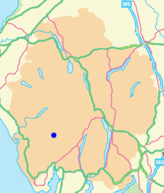
Grid Reference SD 205 975
Area
Birkett - Southern Fells, Harter Fell Group - Top No. 396

White How from Far Hill.
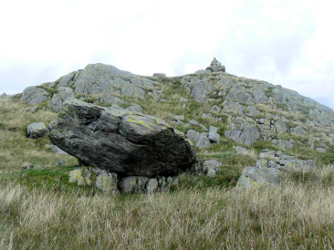
Approaching White How's summit.
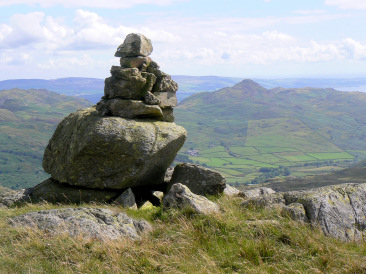
White How's summit cairn with Stickle Pike behind it.
Birker Fell Road (Winds Gate) - Great Crag (193) - Broad Crag (194) - Far Hill - White How (195) - Great Worm Crag (196) - Rough Crag - Birker Fell Road (Winds Gate)
All pictures copyright © Peak Walker 2021
©Crown copyright. All rights reserved. Licence number 100045184.